


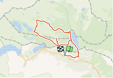
J9-Monpelat-col Aumar

ETMU5496
User


8h25
Difficulty : Difficult

FREE GPS app for hiking
 SityTrail
IGN / Geographical institutes
SityTrail Plus
The world is yours!
About
Trail Walking of 20 km to be discovered at Occitania, Hautespyrenees, Aragnouet. This trail is proposed by ETMU5496.
Description
Depuis Artigusse, lac d'Ouïe, Col d'Estoudou, soum du Monpelat (A/R), lac puis col Aumar et redescente dans la vallée d'Estibère jusqu'au lac de l'Ouïe. Et retour Artigusse.
IBP=151
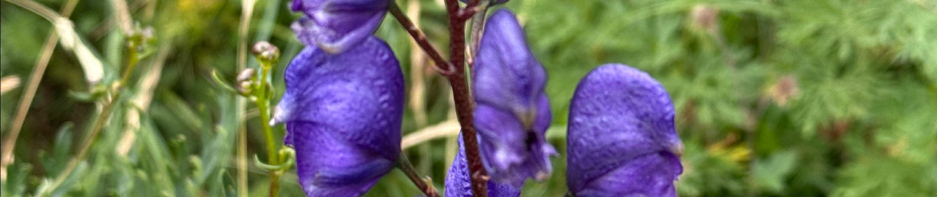
Photos


28 photos in total. Please click on a photo to see them all in the gallery.
Positioning
Comments