


route de la soif 25/07/2025

Isabelle1969
User

Length
59 km

Max alt
1759 m

Uphill gradient
1797 m
Km-Effort
79 km

Min alt
425 m

Downhill gradient
771 m
Boucle
No
Creation date :
2025-07-25 07:35:10.021
Updated on :
2025-07-25 13:51:23.653
4h30
Difficulty : Easy

FREE GPS app for hiking
 SityTrail
IGN / Geographical institutes
SityTrail Plus
The world is yours!
About
Trail 4x4 of 59 km to be discovered at Auvergne-Rhône-Alpes, Upper Savoy, Sevrier. This trail is proposed by Isabelle1969.
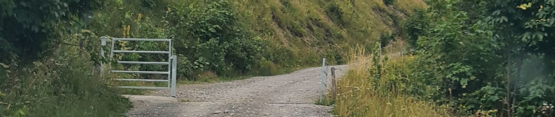
Photos


Positioning
Country:
France
Region :
Auvergne-Rhône-Alpes
Department/Province :
Upper Savoy
Municipality :
Sevrier
Location:
Unknown
Start:(Dec)
Start:(UTM)
278134 ; 5083869 (32T) N.
Comments