


Parcours pédestre + (variantes)

donda
User GUIDE
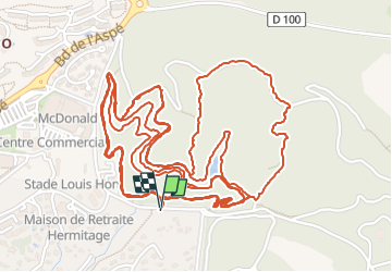

Length
9.5 km

Max alt
146 m

Uphill gradient
207 m
Km-Effort
12.2 km

Min alt
58 m

Downhill gradient
208 m
Boucle
Yes
Creation date :
2025-07-26 05:01:34.988
Updated on :
2025-08-04 04:42:20.032
2h02
Difficulty : Medium

FREE GPS app for hiking
 SityTrail
IGN / Geographical institutes
SityTrail Plus
The world is yours!
About
Trail Walking of 9.5 km to be discovered at Provence-Alpes-Côte d'Azur, Var, Saint-Raphaël. This trail is proposed by donda.
Description
4 tours
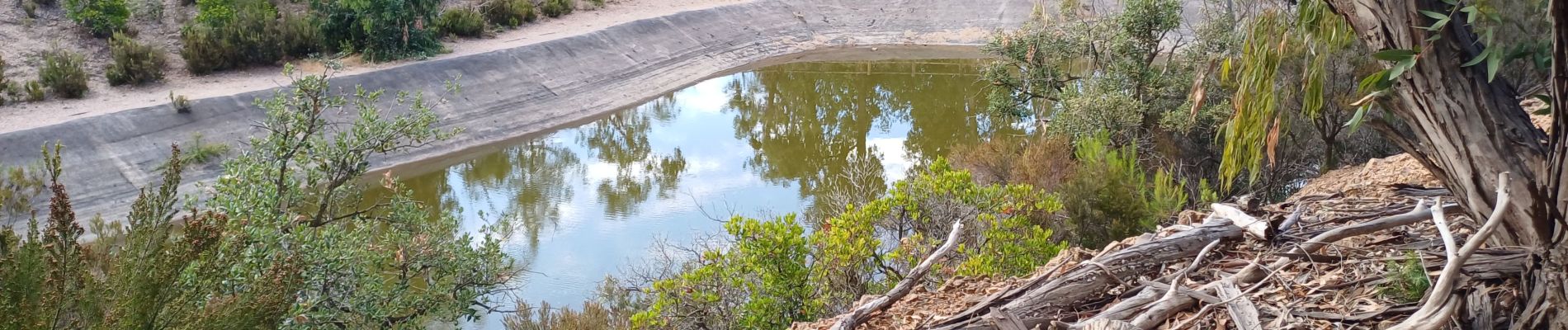
Photos
 - Photo 1")
 - Photo 2")
 - Photo 3")
 - Photo 4")
Positioning
Country:
France
Region :
Provence-Alpes-Côte d'Azur
Department/Province :
Var
Municipality :
Saint-Raphaël
Location:
Unknown
Start:(Dec)
Start:(UTM)
322802 ; 4810740 (32T) N.
Comments