


Vissec

ARVIEU
User


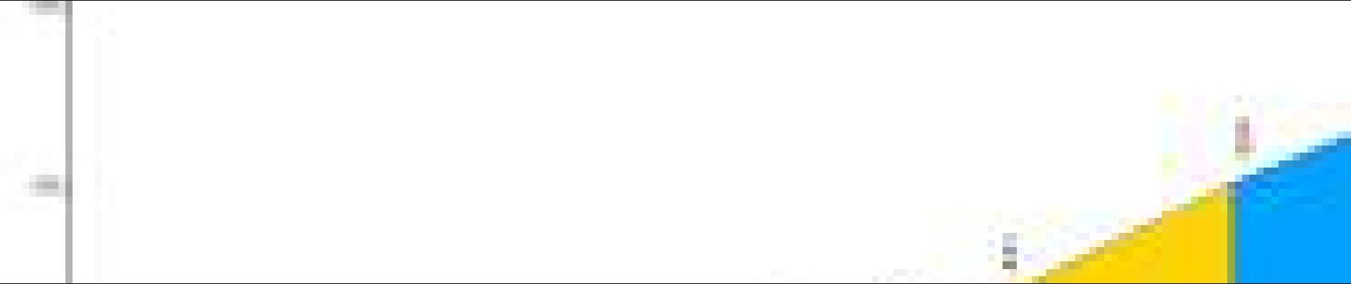
Length
90 km

Max alt
786 m

Uphill gradient
1575 m
Km-Effort
111 km

Min alt
42 m

Downhill gradient
1575 m
Boucle
Yes
Creation date :
2025-07-26 16:32:20.141
Updated on :
2025-07-26 16:36:07.037
5h00
Difficulty : Medium

FREE GPS app for hiking
 SityTrail
IGN / Geographical institutes
SityTrail Plus
The world is yours!
About
Trail Cycle of 90 km to be discovered at Occitania, Hérault, Gignac. This trail is proposed by ARVIEU.
Description
Gignac Col du Vent La Vacquerie Vissec Sorbs St Michel l'Alajou st Pierre de la Fage La Vacquerie Col du Vent Gignac
Photos

Positioning
Country:
France
Region :
Occitania
Department/Province :
Hérault
Municipality :
Gignac
Location:
Unknown
Start:(Dec)
Start:(UTM)
544340 ; 4833794 (31T) N.
Comments