


Rando Test

Lamartiniere
User GUIDE
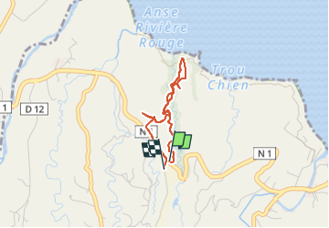

Length
3.5 km

Max alt
109 m

Uphill gradient
92 m
Km-Effort
4.7 km

Min alt
40 m

Downhill gradient
87 m
Boucle
Yes
Creation date :
2025-07-27 13:50:31.824
Updated on :
2025-07-27 15:14:49.863
1h23
Difficulty : Easy

FREE GPS app for hiking
 SityTrail
IGN / Geographical institutes
SityTrail Plus
The world is yours!
About
Trail Walking of 3.5 km to be discovered at Martinique, Unknown, Le Lorrain. This trail is proposed by Lamartiniere.
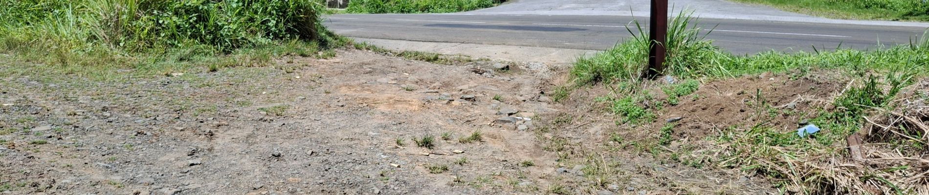
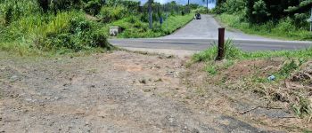
Photos

Positioning
Country:
France
Region :
Martinique
Department/Province :
Unknown
Municipality :
Le Lorrain
Location:
Unknown
Start:(Dec)
Start:(UTM)
706990 ; 1641070 (20P) N.
Comments