


Châteauneuf-Miravail le Treboux 1024m 19kms

Danielba
User GUIDE
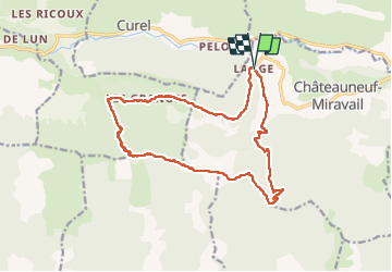

Length
17.4 km

Max alt
1531 m

Uphill gradient
989 m
Km-Effort
31 km

Min alt
714 m

Downhill gradient
988 m
Boucle
Yes
Creation date :
2025-07-27 06:35:36.26
Updated on :
2025-07-27 17:47:45.438
8h23
Difficulty : Medium

FREE GPS app for hiking
 SityTrail
IGN / Geographical institutes
SityTrail Plus
The world is yours!
About
Trail Walking of 17.4 km to be discovered at Provence-Alpes-Côte d'Azur, Alpes-de-Haute-Provence, Châteauneuf-Miravail. This trail is proposed by Danielba .
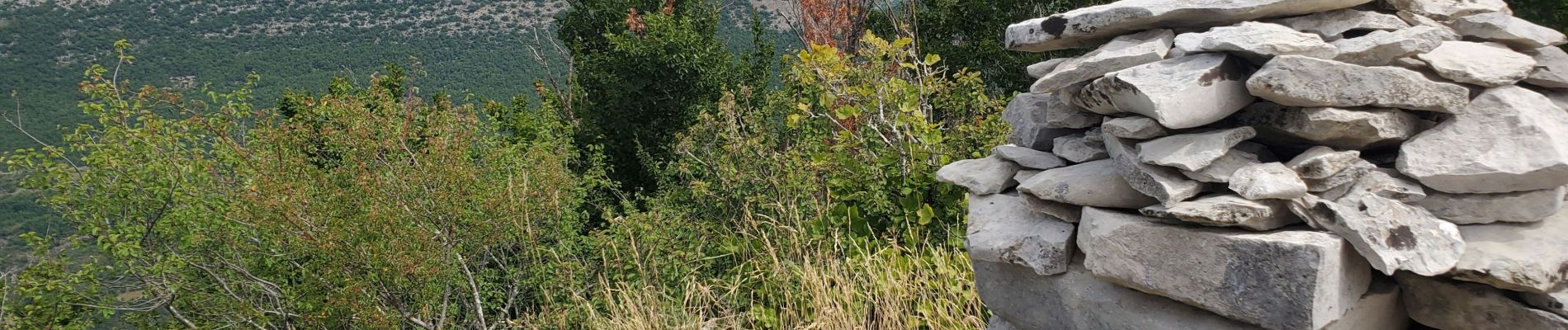
Photos


Positioning
Country:
France
Region :
Provence-Alpes-Côte d'Azur
Department/Province :
Alpes-de-Haute-Provence
Municipality :
Châteauneuf-Miravail
Location:
Unknown
Start:(Dec)
Start:(UTM)
715919 ; 4894081 (31T) N.
Comments