


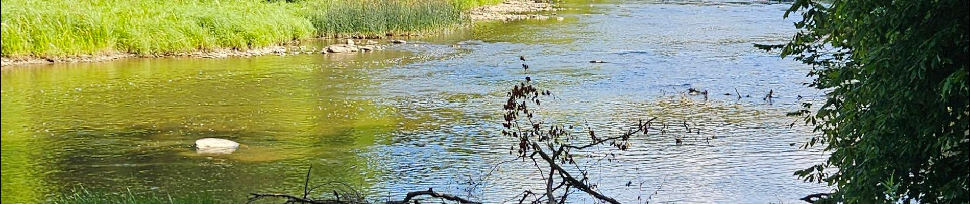
agréable rando bord de semoie

Maca8284
User
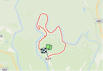

Length
6.5 km

Max alt
350 m

Uphill gradient
118 m
Km-Effort
8.1 km

Min alt
293 m

Downhill gradient
118 m
Boucle
Yes
Creation date :
2025-07-29 08:07:04.631
Updated on :
2025-07-29 09:55:41.206
1h34
Difficulty : Medium

FREE GPS app for hiking
 SityTrail
IGN / Geographical institutes
SityTrail Plus
The world is yours!
About
Trail Walking of 6.5 km to be discovered at Wallonia, Luxembourg, Florenville. This trail is proposed by Maca8284.
Photos


Positioning
Country:
Belgium
Region :
Wallonia
Department/Province :
Luxembourg
Municipality :
Florenville
Location:
Chassepierre
Start:(Dec)
Start:(UTM)
664073 ; 5510230 (31U) N.
Comments