


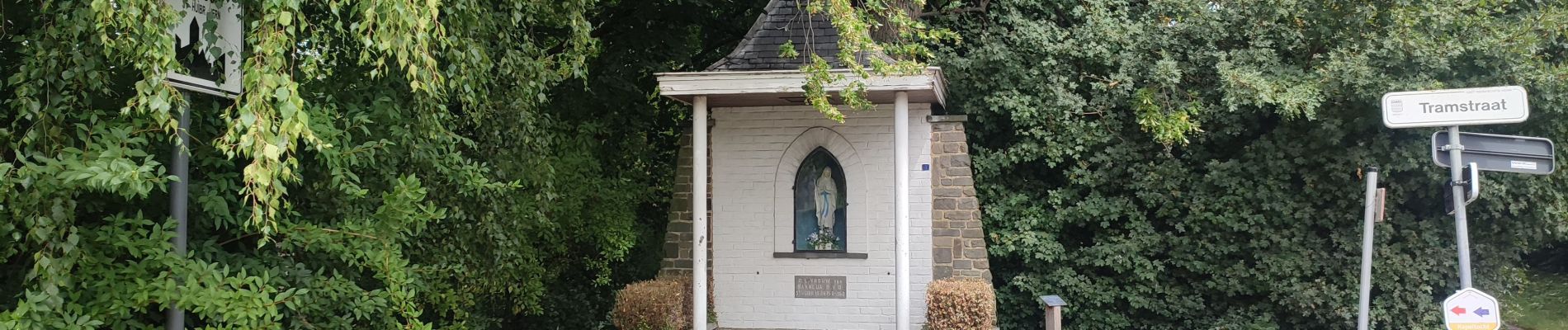
Sint-Huibrechts-Hern

Geert H.
User


4h15
Difficulty : Difficult

FREE GPS app for hiking
 SityTrail
IGN / Geographical institutes
SityTrail Plus
The world is yours!
About
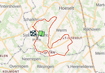
Trail Walking of 16.4 km to be discovered at Flanders, Limburg, Hoeselt. This trail is proposed by Geert H..
Description
Door de valleien en over de heuvelruggen naar de mystieke kluis.
Kluis van Vrijhern - Donjon van Schalkhoven
Gebaseerd op wandeling nr. 11 uit Het Groot Wandelboek Vlaanderen.
Photos


29 photos in total. Please click on a photo to see them all in the gallery.

Positioning
Comments