


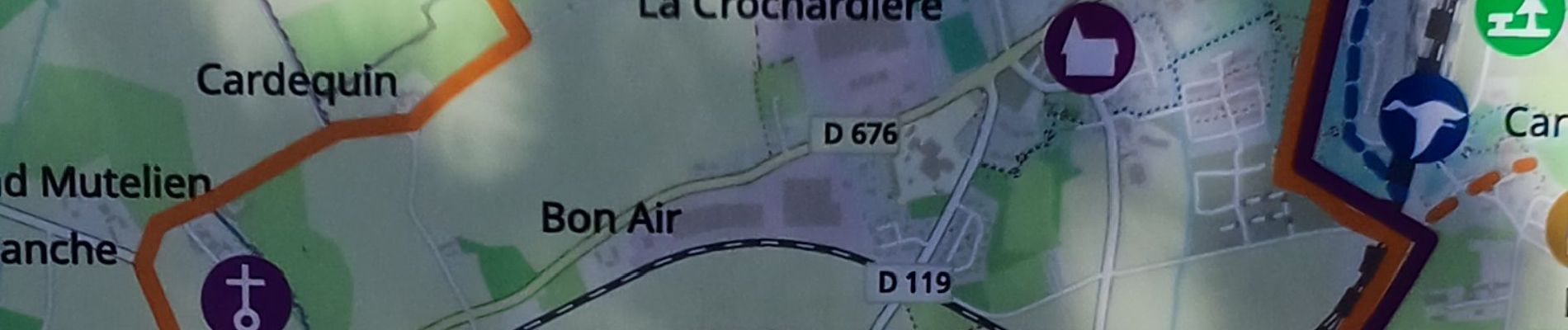
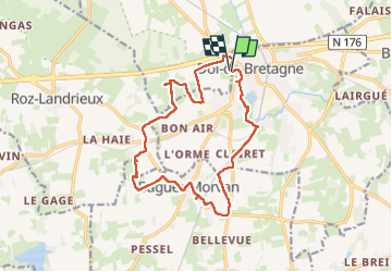
Baguer-Morvan

Doumet22
User

Length
15.4 km

Max alt
53 m

Uphill gradient
109 m
Km-Effort
16.8 km

Min alt
-2 m

Downhill gradient
108 m
Boucle
Yes
Creation date :
2025-08-02 12:37:44.904
Updated on :
2025-08-02 17:29:31.016
4h51
Difficulty : Medium

FREE GPS app for hiking
 SityTrail
IGN / Geographical institutes
SityTrail Plus
The world is yours!
About
Trail Walking of 15.4 km to be discovered at Brittany, Ille-et-Vilaine, Dol-de-Bretagne. This trail is proposed by Doumet22.
Description
rando boucle en partant de Dol de Bretagne.
Photos

Positioning
Country:
France
Region :
Brittany
Department/Province :
Ille-et-Vilaine
Municipality :
Dol-de-Bretagne
Location:
Unknown
Start:(Dec)
Start:(UTM)
591497 ; 5378094 (30U) N.
Comments