


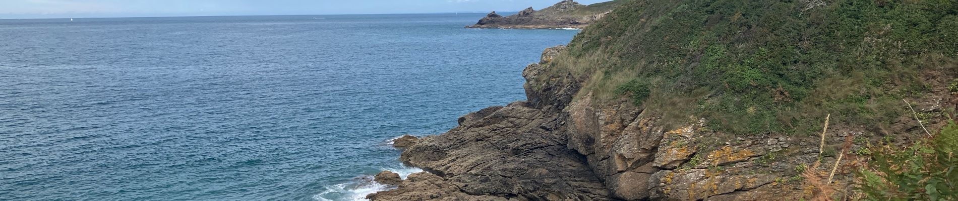
Pointe de meînga

ash
User
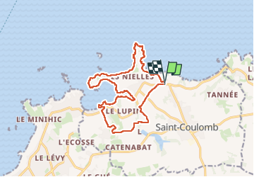

Length
15.5 km

Max alt
39 m

Uphill gradient
212 m
Km-Effort
18.4 km

Min alt
0 m

Downhill gradient
215 m
Boucle
Yes
Creation date :
2025-08-04 09:04:45.0
Updated on :
2025-08-04 14:40:29.243

FREE GPS app for hiking
 SityTrail
IGN / Geographical institutes
SityTrail Plus
The world is yours!
About
Trail of 15.5 km to be discovered at Brittany, Ille-et-Vilaine, Saint-Coulomb. This trail is proposed by ash.
Photos


Positioning
Country:
France
Region :
Brittany
Department/Province :
Ille-et-Vilaine
Municipality :
Saint-Coulomb
Location:
Unknown
Start:(Dec)
Start:(UTM)
579306 ; 5393461 (30U) N.
Comments