


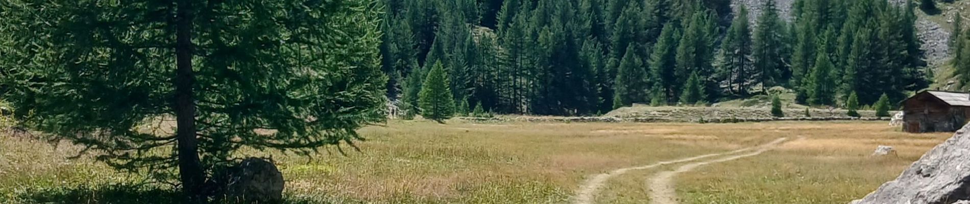
05-cols_cros&rousse_10km750m

SyMA
User
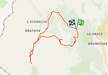

Length
10.1 km

Max alt
2503 m

Uphill gradient
746 m
Km-Effort
20 km

Min alt
1832 m

Downhill gradient
740 m
Boucle
Yes
Creation date :
2025-08-05 07:13:02.01
Updated on :
2025-08-07 12:29:59.13
4h49
Difficulty : Difficult

FREE GPS app for hiking
 SityTrail
IGN / Geographical institutes
SityTrail Plus
The world is yours!
About
Trail Walking of 10.1 km to be discovered at Provence-Alpes-Côte d'Azur, Hautes-Alpes, Arvieux. This trail is proposed by SyMA.
Photos


Positioning
Country:
France
Region :
Provence-Alpes-Côte d'Azur
Department/Province :
Hautes-Alpes
Municipality :
Arvieux
Location:
Unknown
Start:(Dec)
Start:(UTM)
319404 ; 4963201 (32T) N.
Comments