


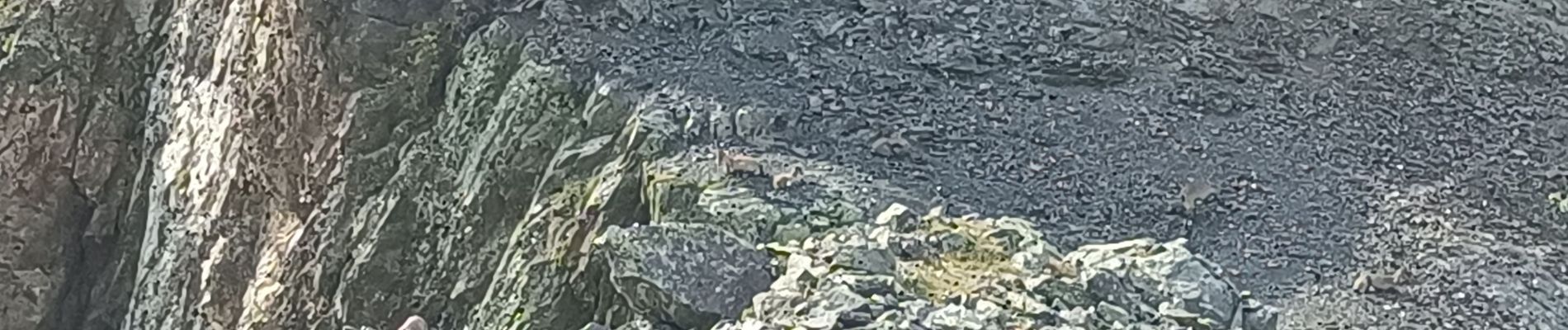
lac blanc rocher de l'homme

chuck
User
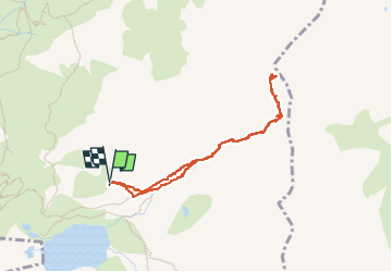

Length
3.6 km

Max alt
2740 m

Uphill gradient
483 m
Km-Effort
10 km

Min alt
2243 m

Downhill gradient
481 m
Boucle
Yes
Creation date :
2025-08-06 05:39:18.164
Updated on :
2025-08-06 15:30:28.91
3h01
Difficulty : Medium

FREE GPS app for hiking
 SityTrail
IGN / Geographical institutes
SityTrail Plus
The world is yours!
About
Trail Walking of 3.6 km to be discovered at Auvergne-Rhône-Alpes, Isère, Sainte-Agnès. This trail is proposed by chuck.
Photos


Positioning
Country:
France
Region :
Auvergne-Rhône-Alpes
Department/Province :
Isère
Municipality :
Sainte-Agnès
Location:
Unknown
Start:(Dec)
Start:(UTM)
733737 ; 5007478 (31T) N.
Comments