


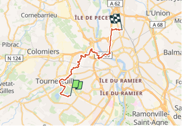
De la Ramée à la Vache

zazibelle
User

Length
18.9 km

Max alt
170 m

Uphill gradient
163 m
Km-Effort
21 km

Min alt
124 m

Downhill gradient
184 m
Boucle
No
Creation date :
2025-08-06 20:18:00.895
Updated on :
2025-08-06 20:30:21.641
4h48
Difficulty : Very difficult

FREE GPS app for hiking
 SityTrail
IGN / Geographical institutes
SityTrail Plus
The world is yours!
About
Trail Walking of 18.9 km to be discovered at Occitania, Haute-Garonne, Toulouse. This trail is proposed by zazibelle.
Positioning
Country:
France
Region :
Occitania
Department/Province :
Haute-Garonne
Municipality :
Toulouse
Location:
Unknown
Start:(Dec)
Start:(UTM)
367984 ; 4825211 (31T) N.
Comments