


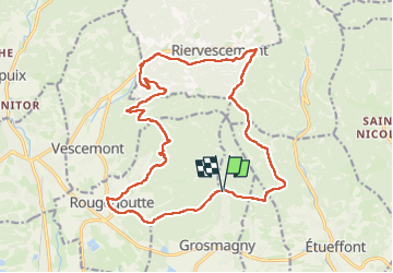
Rando des Marcheurs du 7 Août 2025..Grosmagny

boubou68
User


4h54
Difficulty : Very difficult

FREE GPS app for hiking
 SityTrail
IGN / Geographical institutes
SityTrail Plus
The world is yours!
About
Trail Walking of 20 km to be discovered at Bourgogne-Franche-Comté, Territoire-de-Belfort, Grosmagny. This trail is proposed by boubou68.
Description
Une pensée amicale pour les absents..
Bon courage à Hubi..A très bientôt Chantal.
Merci à mes amis Alain....Francis ..Daniel et Jo von Moto Guzzi, de m'avoir accompagné pour la reco de ma rando du dimanche 10 Aout.
Belle rando..bon partage...
A si bientôt.
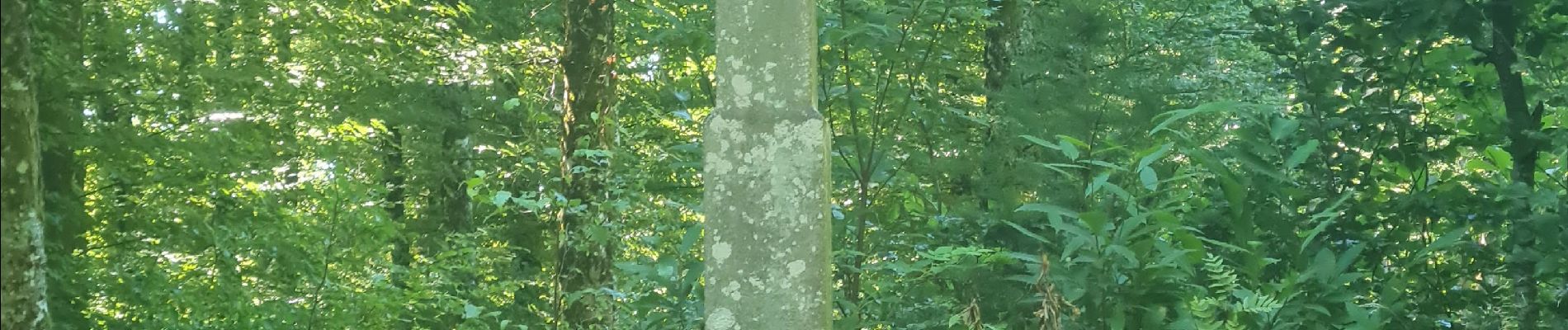
Photos


23 photos in total. Please click on a photo to see them all in the gallery.

Positioning
Comments