


Cize

jpblimond
User
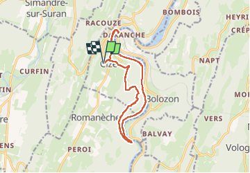

Length
13.9 km

Max alt
538 m

Uphill gradient
391 m
Km-Effort
19.1 km

Min alt
266 m

Downhill gradient
391 m
Boucle
Yes
Creation date :
2025-08-07 11:05:09.0
Updated on :
2025-08-07 15:44:27.719
4h38
Difficulty : Medium

FREE GPS app for hiking
 SityTrail
IGN / Geographical institutes
SityTrail Plus
The world is yours!
About
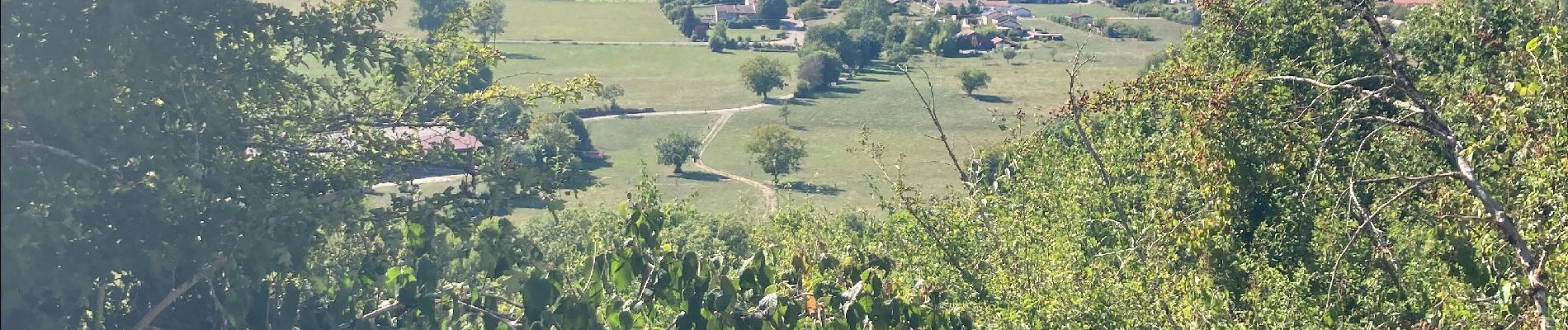
Trail Walking of 13.9 km to be discovered at Auvergne-Rhône-Alpes, Ain, Cize. This trail is proposed by jpblimond.
Photos


22 photos in total. Please click on a photo to see them all in the gallery.
Positioning
Country:
France
Region :
Auvergne-Rhône-Alpes
Department/Province :
Ain
Municipality :
Cize
Location:
Unknown
Start:(Dec)
Start:(UTM)
688580 ; 5119674 (31T) N.
Comments