


TEMP Barres Vouillants

JMHRX2
User

Length
3.7 km

Max alt
669 m

Uphill gradient
455 m
Km-Effort
8.7 km

Min alt
270 m

Downhill gradient
113 m
Boucle
No
Creation date :
2025-07-20 08:13:38.912
Updated on :
2025-08-08 14:25:52.306
1h21
Difficulty : Medium

FREE GPS app for hiking
 SityTrail
IGN / Geographical institutes
SityTrail Plus
The world is yours!
About
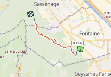
Trail Walking of 3.7 km to be discovered at Auvergne-Rhône-Alpes, Isère, Fontaine. This trail is proposed by JMHRX2.
Positioning
Country:
France
Region :
Auvergne-Rhône-Alpes
Department/Province :
Isère
Municipality :
Fontaine
Location:
Unknown
Start:(Dec)
Start:(UTM)
710492 ; 5007128 (31T) N.
Comments