


BOUCLE AUTOUR DU CROUZET (PREVENCHERES)

walrou63
User
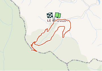

Length
4.4 km

Max alt
1057 m

Uphill gradient
196 m
Km-Effort
7 km

Min alt
858 m

Downhill gradient
194 m
Boucle
Yes
Creation date :
2025-08-11 14:19:22.592
Updated on :
2025-08-14 17:17:48.269
1h25
Difficulty : Medium

FREE GPS app for hiking
 SityTrail
IGN / Geographical institutes
SityTrail Plus
The world is yours!
About
Trail Walking of 4.4 km to be discovered at Occitania, Lozère, Prévenchères. This trail is proposed by walrou63.
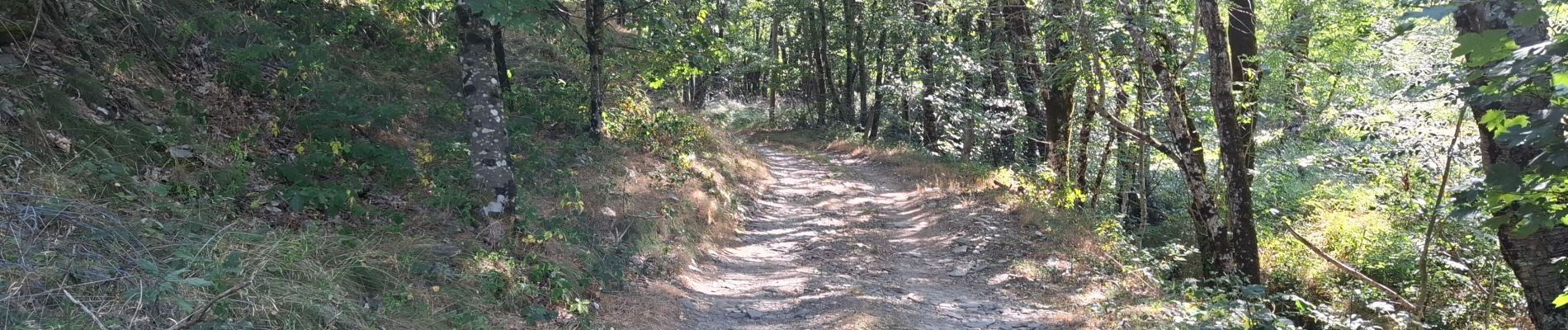
Photos
 - Photo 1")
 - Photo 2")
 - Photo 3")
 - Photo 4")
 - Photo 5")
 - Photo 6")
 - Photo 7")
 - Photo 8")
 - Photo 9")
 - Photo 10")
 - Photo 11")
Positioning
Country:
France
Region :
Occitania
Department/Province :
Lozère
Municipality :
Prévenchères
Location:
Unknown
Start:(Dec)
Start:(UTM)
571466 ; 4927620 (31T) N.
Comments