


Le granon

COLLOMBAlain
User
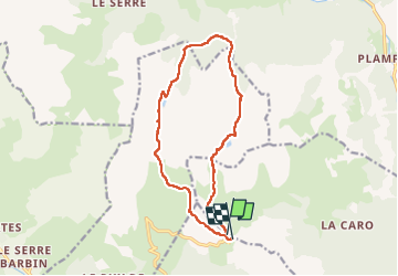

Length
14.2 km

Max alt
2543 m

Uphill gradient
593 m
Km-Effort
22 km

Min alt
2079 m

Downhill gradient
608 m
Boucle
Yes
Creation date :
2025-08-05 07:10:48.199
Updated on :
2025-08-13 18:27:05.99
7h18
Difficulty : Very difficult

FREE GPS app for hiking
 SityTrail
IGN / Geographical institutes
SityTrail Plus
The world is yours!
About
Trail Walking of 14.2 km to be discovered at Provence-Alpes-Côte d'Azur, Hautes-Alpes, Val-des-Prés. This trail is proposed by COLLOMBAlain.
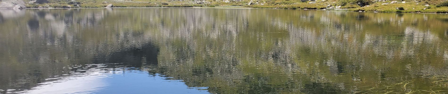
Photos


Positioning
Country:
France
Region :
Provence-Alpes-Côte d'Azur
Department/Province :
Hautes-Alpes
Municipality :
Val-des-Prés
Location:
Unknown
Start:(Dec)
Start:(UTM)
311518 ; 4981767 (32T) N.
Comments