


descente du Casque du Lheris vers Banios

Prala
User
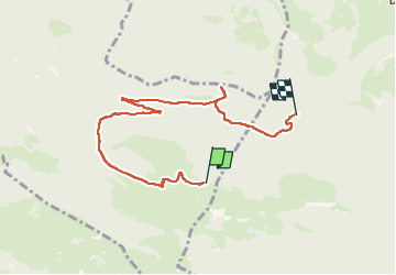

Length
7 km

Max alt
1533 m

Uphill gradient
45 m
Km-Effort
9.5 km

Min alt
925 m

Downhill gradient
641 m
Boucle
No
Creation date :
2025-08-15 10:34:15.138
Updated on :
2025-08-15 13:04:16.834
2h27
Difficulty : Easy

FREE GPS app for hiking
 SityTrail
IGN / Geographical institutes
SityTrail Plus
The world is yours!
About
Trail Walking of 7 km to be discovered at Occitania, Hautespyrenees, Asté. This trail is proposed by Prala.
Positioning
Country:
France
Region :
Occitania
Department/Province :
Hautespyrenees
Municipality :
Asté
Location:
Unknown
Start:(Dec)
Start:(UTM)
274361 ; 4766363 (31T) N.
Comments