


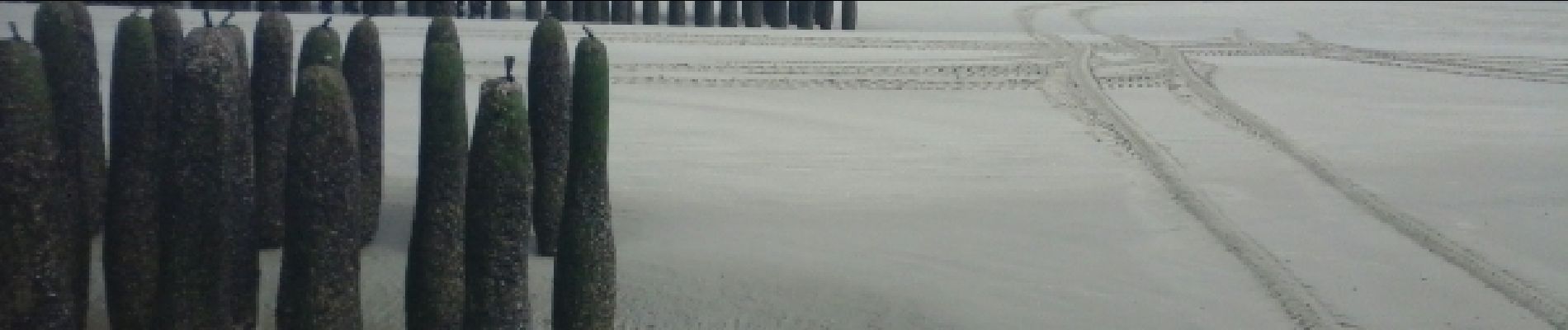
plage

sandra54570
User
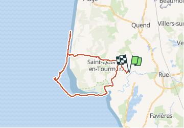

Length
28 km

Max alt
26 m

Uphill gradient
84 m
Km-Effort
29 km

Min alt
-1 m

Downhill gradient
82 m
Boucle
Yes
Creation date :
2015-08-09 00:00:00.0
Updated on :
2015-08-09 00:00:00.0
3h26
Difficulty : Unknown

FREE GPS app for hiking
 SityTrail
IGN / Geographical institutes
SityTrail Plus
The world is yours!
About
Trail Other activity of 28 km to be discovered at Hauts-de-France, Somme, Saint-Quentin-en-Tourmont. This trail is proposed by sandra54570.
Photos


Positioning
Country:
France
Region :
Hauts-de-France
Department/Province :
Somme
Municipality :
Saint-Quentin-en-Tourmont
Location:
Unknown
Start:(Dec)
Start:(UTM)
401736 ; 5570093 (31U) N.
Comments
ATTENTION une partie du circuit traverse la réserve naturelle nationale de baie de Somme avec sa réglementation propre notamment l'interdiction des chiens toute l'année et interdiction de déranger la faune