


camping les sources cirque du bout du monde

marcagif
User
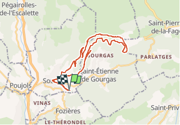

Length
19.3 km

Max alt
708 m

Uphill gradient
671 m
Km-Effort
28 km

Min alt
227 m

Downhill gradient
674 m
Boucle
Yes
Creation date :
2025-08-21 08:25:50.051
Updated on :
2025-08-21 14:33:57.51
5h41
Difficulty : Medium

FREE GPS app for hiking
 SityTrail
IGN / Geographical institutes
SityTrail Plus
The world is yours!
About
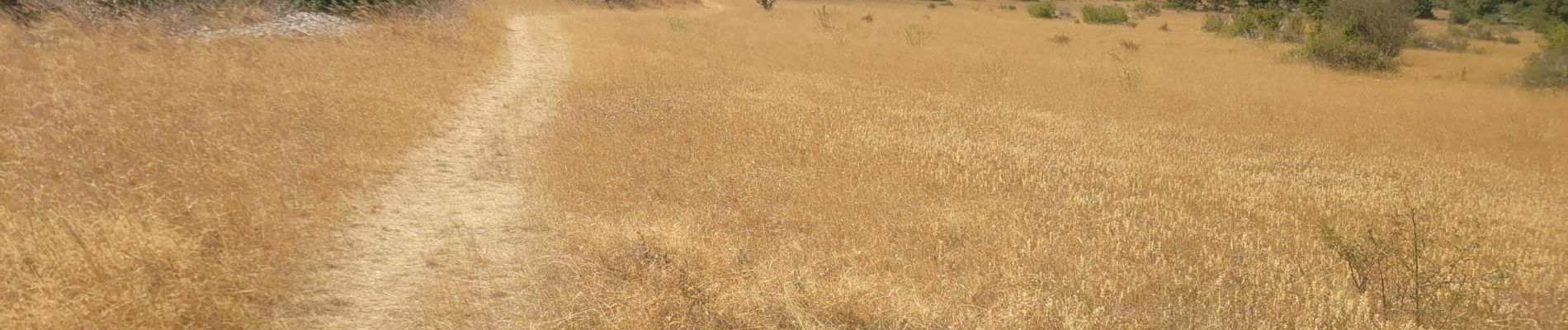
Trail Walking of 19.3 km to be discovered at Occitania, Hérault, Soubès. This trail is proposed by marcagif.
Photos


Positioning
Country:
France
Region :
Occitania
Department/Province :
Hérault
Municipality :
Soubès
Location:
Unknown
Start:(Dec)
Start:(UTM)
528784 ; 4845513 (31T) N.
Comments