


Forêt de Huelgoat

Bobol
User

Length
12.7 km

Max alt
228 m

Uphill gradient
233 m
Km-Effort
15.8 km

Min alt
94 m

Downhill gradient
233 m
Boucle
Yes
Creation date :
2016-03-09 00:00:00.0
Updated on :
2016-03-09 00:00:00.0
3h29
Difficulty : Medium

FREE GPS app for hiking
 SityTrail
IGN / Geographical institutes
SityTrail Plus
The world is yours!
About
Trail Walking of 12.7 km to be discovered at Brittany, Finistère, Berrien. This trail is proposed by Bobol.
Description
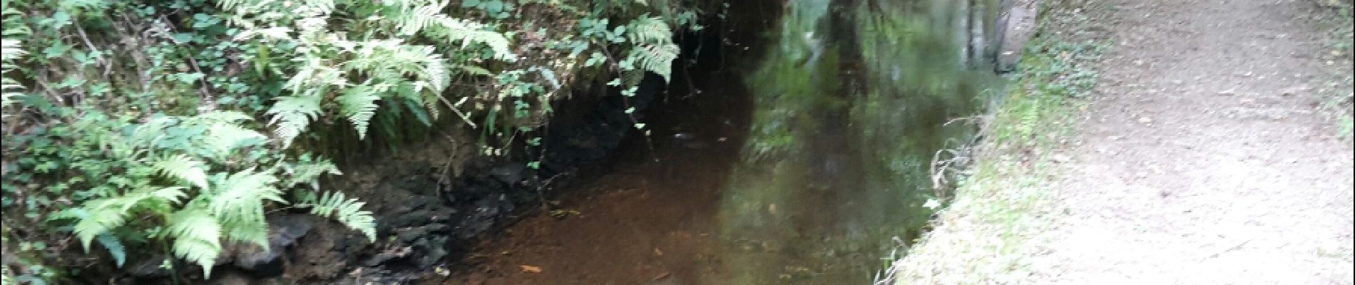
Petit tour de la forêt de Huelgoat sans grande difficulté. Forêt superbe, dommage que je n'avais pas de soleil ce jour-là.
Départ sur un petit parking.
Photos


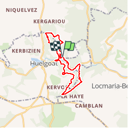
Positioning
Country:
France
Region :
Brittany
Department/Province :
Finistère
Municipality :
Berrien
Location:
Unknown
Start:(Dec)
Start:(UTM)
445650 ; 5357326 (30U) N.
Comments
Très chouette