


12.9 km | 15 km-effort

User


FREE GPS app for hiking
 SityTrail
IGN / Geographical institutes
SityTrail World
The world is yours!
Trail Walking of 22 km to be discovered at Brittany, Ille-et-Vilaine, Saint-Malon-sur-Mel. This trail is proposed by neoroll44.
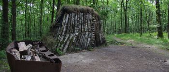
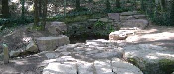
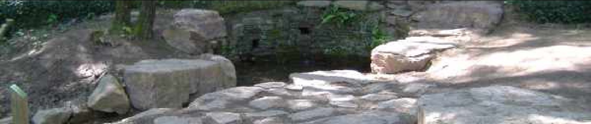
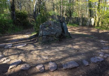
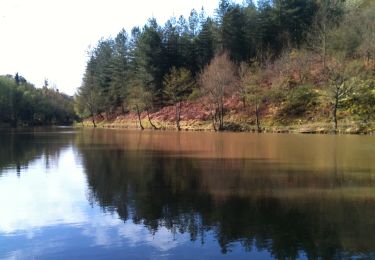
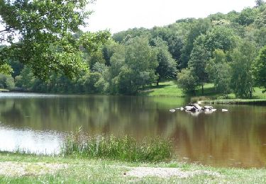
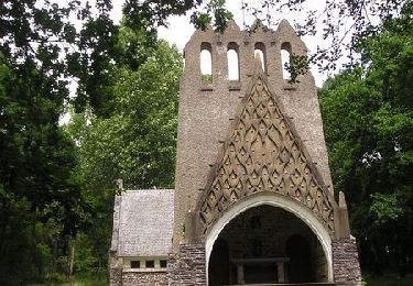
Depuis l'étang de la Marette, la traversée de la forêt le chêne des Hindrés, l'étang du Pas du Houx et ses châteaux, la ligne de Comper et l'étang de Dom Jean. Pour finir dans la magie, le tombeau de Merlin et la fontaine de jouvence. Fermé du 1er octobre au 31 mars.Certains secteurs difficiles par temps humide!


On foot
On foot
On foot
On foot

Equestrian
Equestrian
Equestrian

Equestrian
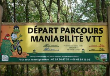
Mountain bike