


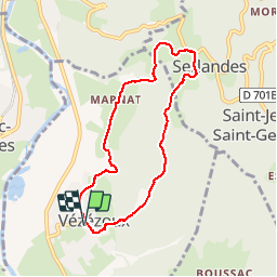

15.2 km | 24 km-effort

User


FREE GPS app for hiking
 SityTrail
IGN / Geographical institutes
SityTrail World
The world is yours!
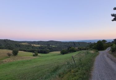
Trail Walking of 7.2 km to be discovered at Auvergne-Rhône-Alpes, Haute-Loire, Vézézoux. This trail is proposed by guilced10.
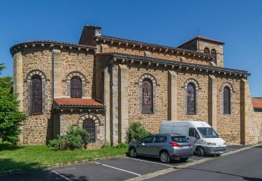
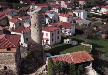
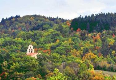
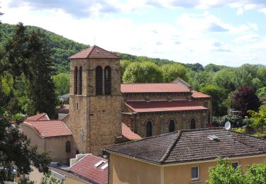
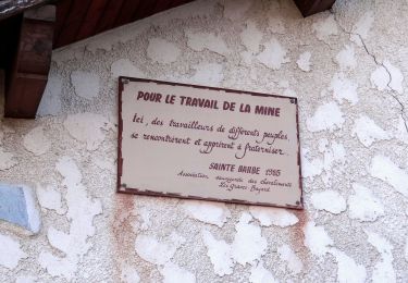
Ce sentier illustre bien deux des facettes du pays d'Auzon : côté plaine, le bassin minier où se concentre la majorité de la population ; côté Livradois, l'ancien pays agricole en mal d'hommes. Vézézoux est comme un trait d'union entre ces deux entités. Tourné vers la plaine, il oublie peu à peu son passé viticole que quelques de ceps rappellent.


On foot

Quad
Walking

Walking
Walking
Walking
Walking
Walking

Walking