


2015-08-19 10h42m10

clrenaud
User
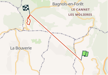

Length
9 km

Max alt
412 m

Uphill gradient
480 m
Km-Effort
14.9 km

Min alt
60 m

Downhill gradient
337 m
Boucle
No
Creation date :
2015-08-19 00:00:00.0
Updated on :
2015-08-19 00:00:00.0
--
Difficulty : Very easy

FREE GPS app for hiking
 SityTrail
IGN / Geographical institutes
SityTrail Plus
The world is yours!
About
Trail Running of 9 km to be discovered at Provence-Alpes-Côte d'Azur, Var, Fréjus. This trail is proposed by clrenaud.
Positioning
Country:
France
Region :
Provence-Alpes-Côte d'Azur
Department/Province :
Var
Municipality :
Fréjus
Location:
Unknown
Start:(Dec)
Start:(UTM)
315105 ; 4817825 (32T) N.
Comments