


Sainte Marine-Bénodet

Bobol
User
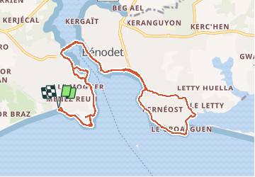

Length
13.1 km

Max alt
17 m

Uphill gradient
116 m
Km-Effort
14.6 km

Min alt
-1 m

Downhill gradient
115 m
Boucle
Yes
Creation date :
2015-08-23 00:00:00.0
Updated on :
2015-08-23 00:00:00.0
3h50
Difficulty : Easy

FREE GPS app for hiking
 SityTrail
IGN / Geographical institutes
SityTrail Plus
The world is yours!
About
Trail Walking of 13.1 km to be discovered at Brittany, Finistère, Combrit. This trail is proposed by Bobol.
Description
Pour découvrir l'estuaire de l'Odet de Saint Marine à Bénodet en prenant le bac piéton. Aucune difficulté si on ne passe pas par les rochers (voir POI).
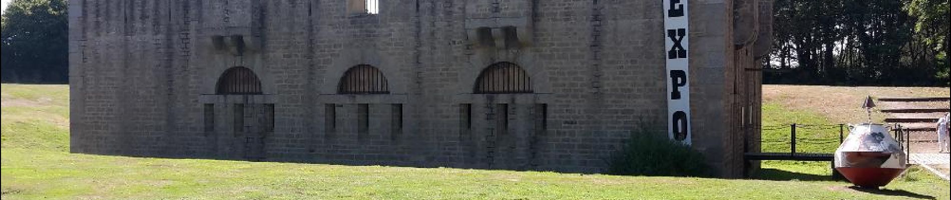
Photos


Positioning
Country:
France
Region :
Brittany
Department/Province :
Finistère
Municipality :
Combrit
Location:
Unknown
Start:(Dec)
Start:(UTM)
416138 ; 5301965 (30T) N.
Comments