


4.3 km | 6.4 km-effort


User


FREE GPS app for hiking
 SityTrail
IGN / Geographical institutes
SityTrail World
The world is yours!
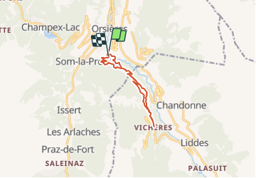
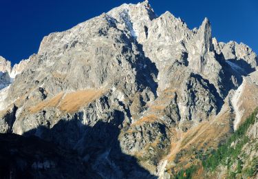
Trail Snowshoes of 10.1 km to be discovered at Valais/Wallis, Entremont, Orsières. This trail is proposed by verbier.
Du départ d''Orsières suivre la direction sud le petit chemin, Prendre à droite au carrefour puis suivre les balises. Possibilité d''écourter la randonnée en faisant demi tour à hauteur des Moulins et prendre le sentier du bas qui vous remène à Orsières.
Cette randonnée se réfère aux panneaux N°1.
On foot
On foot
On foot

On foot
On foot
Walking
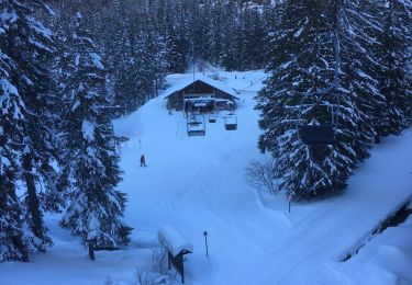
Snowshoes

Walking

Walking