


beille

josy31
User
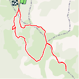

Length
11.3 km

Max alt
1958 m

Uphill gradient
312 m
Km-Effort
15.5 km

Min alt
1729 m

Downhill gradient
306 m
Boucle
Yes
Creation date :
2015-08-30 00:00:00.0
Updated on :
2015-08-30 00:00:00.0
4h18
Difficulty : Easy

FREE GPS app for hiking
 SityTrail
IGN / Geographical institutes
SityTrail Plus
The world is yours!
About
Trail Walking of 11.3 km to be discovered at Occitania, Ariège, Albiès. This trail is proposed by josy31.
Positioning
Country:
France
Region :
Occitania
Department/Province :
Ariège
Municipality :
Albiès
Location:
Unknown
Start:(Dec)
Start:(UTM)
392828 ; 4731133 (31T) N.
Comments