


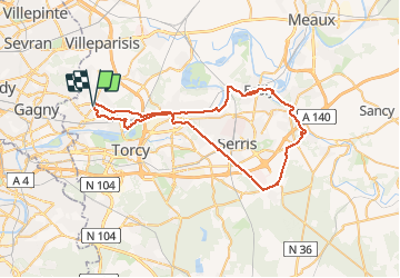

15 km | 16.7 km-effort


User


FREE GPS app for hiking
 SityTrail
IGN / Geographical institutes
SityTrail World
The world is yours!
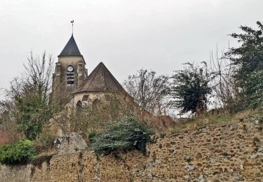
Trail Cycle of 57 km to be discovered at Ile-de-France, Seine-et-Marne, Chelles. This trail is proposed by destras.
De Chelles vers le grand Morin autour de Mickey. Retour par bords de Marne

Walking

Walking

On foot
Walking
Walking
Walking
Walking
Walking

On foot