


le colporteur des jasseries Ambert

Michel07
User
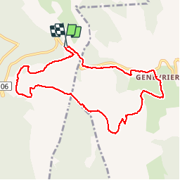

Length
9.4 km

Max alt
1404 m

Uphill gradient
284 m
Km-Effort
13.2 km

Min alt
1225 m

Downhill gradient
275 m
Boucle
Yes
Creation date :
2015-09-06 00:00:00.0
Updated on :
2015-09-06 00:00:00.0
2h24
Difficulty : Easy

FREE GPS app for hiking
 SityTrail
IGN / Geographical institutes
SityTrail Plus
The world is yours!
About
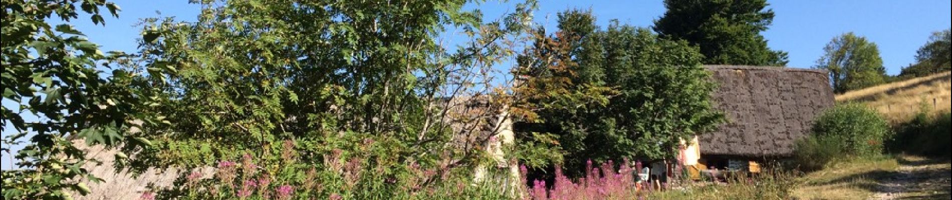
Trail Walking of 9.4 km to be discovered at Auvergne-Rhône-Alpes, Puy-de-Dôme, Valcivières. This trail is proposed by Michel07.
Photos

Positioning
Country:
France
Region :
Auvergne-Rhône-Alpes
Department/Province :
Puy-de-Dôme
Municipality :
Valcivières
Location:
Unknown
Start:(Dec)
Start:(UTM)
565778 ; 5049229 (31T) N.
Comments