


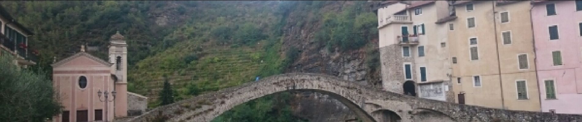
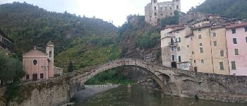
Convento de Dolceacqua

jeanclaude12
User


2h25
Difficulty : Easy

FREE GPS app for hiking
 SityTrail
IGN / Geographical institutes
SityTrail Plus
The world is yours!
About
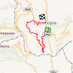
Trail Walking of 5.4 km to be discovered at Liguria, Imperia, Dolceacqua. This trail is proposed by jeanclaude12.
Description
Circuit Convento sous la Cima d'Aurin pour une balade panoramique face et au-dessus du pittoresque village de Dolceacqua, situé sur la Nervia et uni au bourg par un pont médiéval, défini par Monet comme "un bijou de légèreté".
Photos


Positioning
Comments