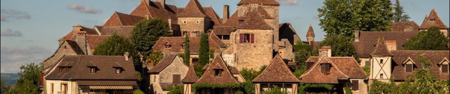
Le Nord-Est de Rocamadour

destras
User
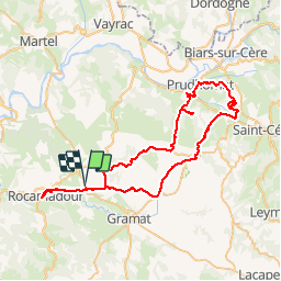

Length
69 km

Max alt
421 m

Uphill gradient
1157 m
Km-Effort
84 km

Min alt
126 m

Downhill gradient
1160 m
Boucle
Yes
Creation date :
2016-03-09 00:00:00.0
Updated on :
2016-03-09 00:00:00.0
4h48
Difficulty : Difficult

FREE GPS app for hiking
 SityTrail
IGN / Geographical institutes
SityTrail Plus
The world is yours!
About
Trail Cycle of 69 km to be discovered at Occitania, Lot, Rocamadour. This trail is proposed by destras.
Description
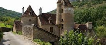
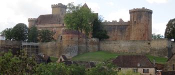
boucle au nord-est de Rocamadour avec un tour à Rocamadour. Départ du hameau Blanat.
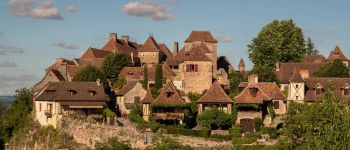
Je suis passé par deux plus beaux villages de France, Autoire, Loubressac.
Photos


Positioning
Country:
France
Region :
Occitania
Department/Province :
Lot
Municipality :
Rocamadour
Location:
Unknown
Start:(Dec)
Start:(UTM)
394781 ; 4962489 (31T) N.
Comments