


espalion - golinhac

jib971
User
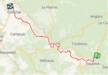

Length
29 km

Max alt
670 m

Uphill gradient
902 m
Km-Effort
39 km

Min alt
312 m

Downhill gradient
571 m
Boucle
No
Creation date :
2015-09-25 00:00:00.0
Updated on :
2021-07-25 16:17:18.422
8h42
Difficulty : Difficult

FREE GPS app for hiking
 SityTrail
IGN / Geographical institutes
SityTrail Plus
The world is yours!
About
Trail Walking of 29 km to be discovered at Occitania, Aveyron, Espalion. This trail is proposed by jib971.
Description
Grosse montee apres espalion .... Et tout en montée apres estaing
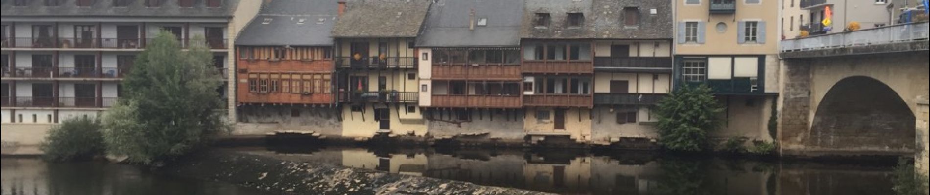
Photos


54 photos in total. Please click on a photo to see them all in the gallery.
Positioning
Country:
France
Region :
Occitania
Department/Province :
Aveyron
Municipality :
Espalion
Location:
Unknown
Start:(Dec)
Start:(UTM)
481134 ; 4929957 (31T) N.
Comments