


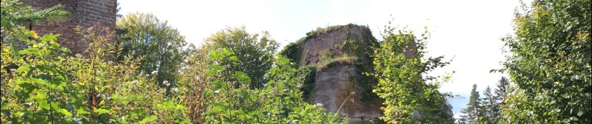
Mur païen

fedinois1
User


4h12
Difficulty : Very easy

FREE GPS app for hiking
 SityTrail
IGN / Geographical institutes
SityTrail Plus
The world is yours!
About
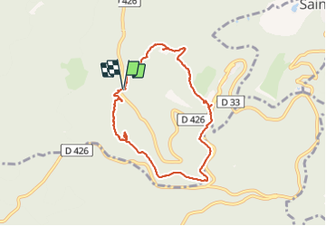
Trail Other activity of 7.9 km to be discovered at Grand Est, Bas-Rhin, Ottrott. This trail is proposed by fedinois1.
Description
Randonnée facile. Stationnement sur un parking de 8 places au bord de la D426. À voir : le mur païen sur une belle longueur, le château de Birkenfeld, les 3 châteaux Dreistein. Avec un petit détour on peut ajouter la visite du Mont Ste Odile
Photos


Positioning
Comments