


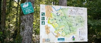
Sentier des chênes rouges

albert39
User

Length
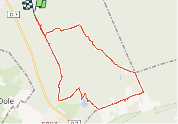
11.6 km

Max alt
258 m

Uphill gradient
154 m
Km-Effort
13.7 km

Min alt
223 m

Downhill gradient
154 m
Boucle
Yes
Creation date :
2015-09-28 00:00:00.0
Updated on :
2015-09-28 00:00:00.0
3h47
Difficulty : Easy

FREE GPS app for hiking
 SityTrail
IGN / Geographical institutes
SityTrail Plus
The world is yours!
About
Trail Walking of 11.6 km to be discovered at Bourgogne-Franche-Comté, Jura, Dole. This trail is proposed by albert39.
Description
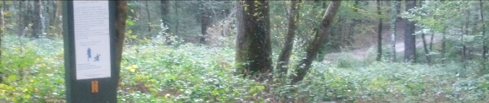
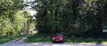
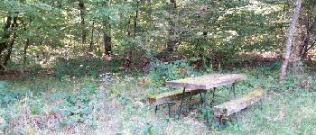
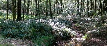
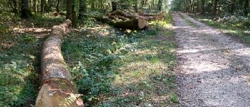
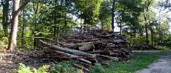
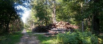
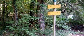
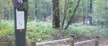
Belle après-midi ensoleillée, ballade dominicale par le circuit n°3, chênaie et étang en forêt de chaux.
Photos


Points of interest

Positioning
Country:
France
Region :
Bourgogne-Franche-Comté
Department/Province :
Jura
Municipality :
Dole
Location:
Unknown
Start:(Dec)
Start:(UTM)
690862 ; 5215669 (31T) N.
Comments