


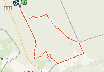


9.1 km | 10.6 km-effort

User


FREE GPS app for hiking
 SityTrail
IGN / Geographical institutes
SityTrail World
The world is yours!
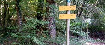
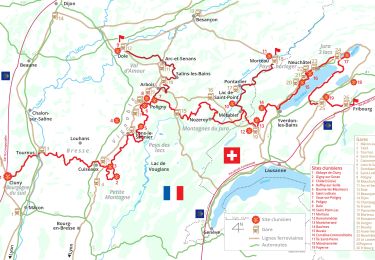
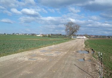
Trail Walking of 11.6 km to be discovered at Bourgogne-Franche-Comté, Jura, Dole. This trail is proposed by albert39.
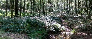
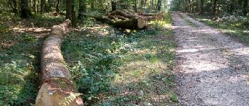
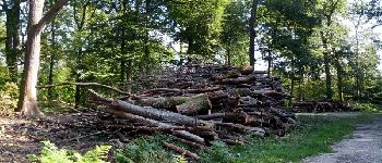
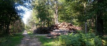
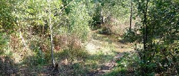
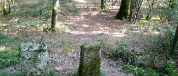
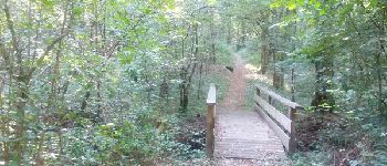
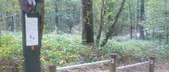
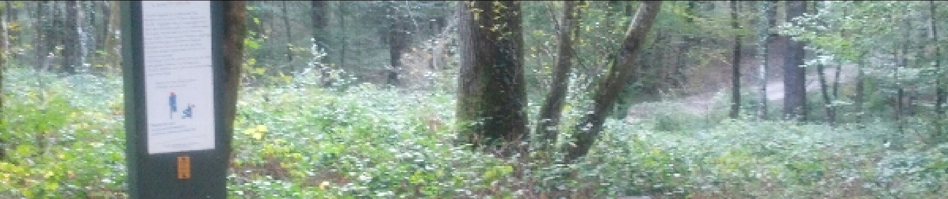
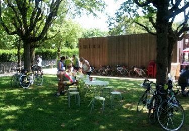
Belle après-midi ensoleillée, ballade dominicale par le circuit n°3, chênaie et étang en forêt de chaux.


On foot
Walking
Road bike
Walking
Cycle
Cycle
Nordic walking
Walking