


TMB day 2

elixpomatia
User
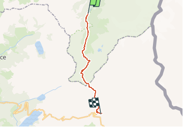

Length
16.3 km

Max alt
2487 m

Uphill gradient
1295 m
Km-Effort
32 km

Min alt
1210 m

Downhill gradient
948 m
Boucle
No
Creation date :
2015-10-11 00:00:00.0
Updated on :
2015-10-11 00:00:00.0
6h49
Difficulty : Difficult

FREE GPS app for hiking
 SityTrail
IGN / Geographical institutes
SityTrail Plus
The world is yours!
About
Trail Walking of 16.3 km to be discovered at Auvergne-Rhône-Alpes, Upper Savoy, Les Contamines-Montjoie. This trail is proposed by elixpomatia.
Description
Notre Dame de la Gorge -> Les Chapieaux
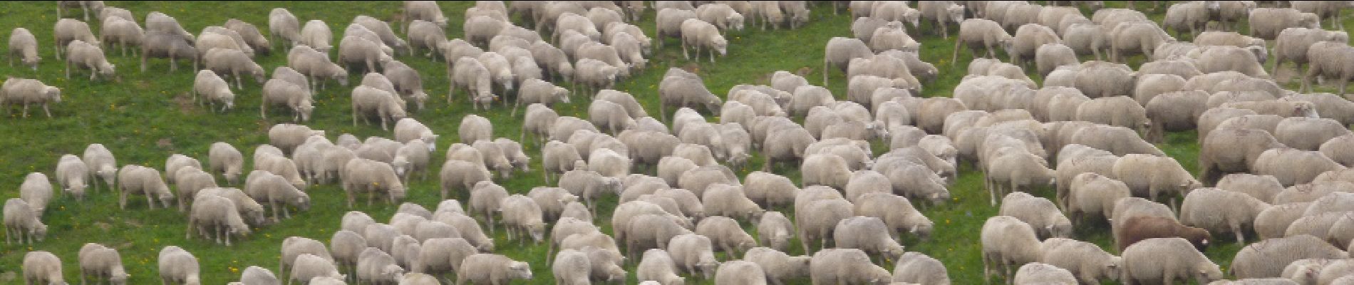
Photos


31 photos in total. Please click on a photo to see them all in the gallery.


Positioning
Country:
France
Region :
Auvergne-Rhône-Alpes
Department/Province :
Upper Savoy
Municipality :
Les Contamines-Montjoie
Location:
Unknown
Start:(Dec)
Start:(UTM)
322462 ; 5073473 (32T) N.
Comments