


Lacs et Col de Bousson. 04 10.15

Dervalmarc
User
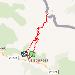

Length
8.1 km

Max alt
2183 m

Uphill gradient
323 m
Km-Effort
12.3 km

Min alt
1869 m

Downhill gradient
320 m
Boucle
Yes
Creation date :
2016-11-01 00:00:00.0
Updated on :
2016-11-01 00:00:00.0
2h24
Difficulty : Easy

FREE GPS app for hiking
 SityTrail
IGN / Geographical institutes
SityTrail Plus
The world is yours!
About
Trail Walking of 8.1 km to be discovered at Provence-Alpes-Côte d'Azur, Hautes-Alpes, Cervières. This trail is proposed by Dervalmarc.
Description
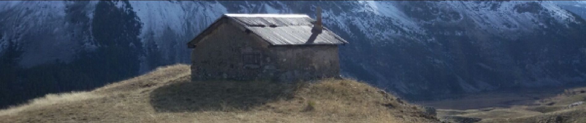
L'intérêt réside dans le faible dénivelé qui pour autant nous fait découvrir cabane d'alpage, nombreux lacs une demi douzaine, et un col frontalier.
Photos


Positioning
Country:
France
Region :
Provence-Alpes-Côte d'Azur
Department/Province :
Hautes-Alpes
Municipality :
Cervières
Location:
Unknown
Start:(Dec)
Start:(UTM)
323718 ; 4971485 (32T) N.
Comments
Sans intérêt en fin d'été.