


De L'auberge des Alisiers à la Piquante Pierre

jeanclaude12
User
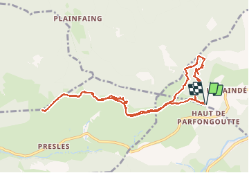

Length
11.4 km

Max alt
1029 m

Uphill gradient
291 m
Km-Effort
15.3 km

Min alt
882 m

Downhill gradient
289 m
Boucle
Yes
Creation date :
2015-10-04 00:00:00.0
Updated on :
2015-10-04 00:00:00.0
2h37
Difficulty : Easy

FREE GPS app for hiking
 SityTrail
IGN / Geographical institutes
SityTrail Plus
The world is yours!
About
Trail Walking of 11.4 km to be discovered at Grand Est, Vosges, La Bresse. This trail is proposed by jeanclaude12.
Description
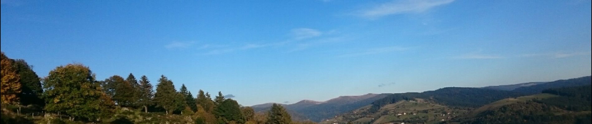
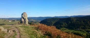
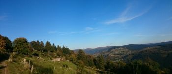
Très agréable randonnée aérienne et en balcon au-dessus de la Vallée de la Moselotte. Les vues sont panoramiques vers la Route des Crêtes, le Col du Brabant et le Col des Hayes.
Photos


Positioning
Country:
France
Region :
Grand Est
Department/Province :
Vosges
Municipality :
La Bresse
Location:
Unknown
Start:(Dec)
Start:(UTM)
338538 ; 5318059 (32T) N.
Comments