


golinhac - conques

jib971
User
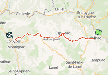

Length
23 km

Max alt
680 m

Uphill gradient
468 m
Km-Effort
31 km

Min alt
274 m

Downhill gradient
835 m
Boucle
No
Creation date :
2015-10-09 00:00:00.0
Updated on :
2021-07-25 16:19:37.497
6h43
Difficulty : Medium

FREE GPS app for hiking
 SityTrail
IGN / Geographical institutes
SityTrail Plus
The world is yours!
About
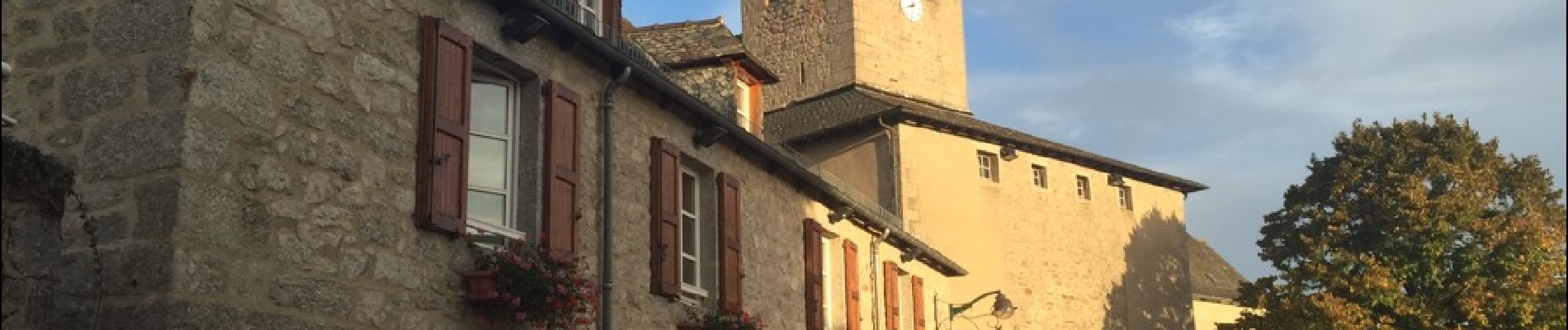
Trail Walking of 23 km to be discovered at Occitania, Aveyron, Golinhac. This trail is proposed by jib971.
Description
La derniere descente
Photos


38 photos in total. Please click on a photo to see them all in the gallery.
Positioning
Country:
France
Region :
Occitania
Department/Province :
Aveyron
Municipality :
Golinhac
Location:
Unknown
Start:(Dec)
Start:(UTM)
466964 ; 4938933 (31T) N.
Comments