


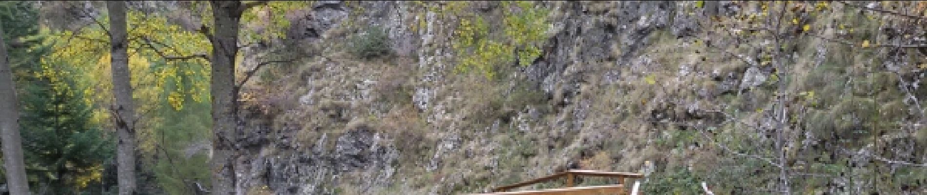
.Chalets de Prenticq. (11-10-15-

Dervalmarc
User
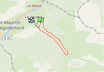

Length
6.5 km

Max alt
1346 m

Uphill gradient
333 m
Km-Effort
11 km

Min alt
1007 m

Downhill gradient
338 m
Boucle
Yes
Creation date :
2015-10-11 00:00:00.0
Updated on :
2015-10-11 00:00:00.0
2h09
Difficulty : Easy

FREE GPS app for hiking
 SityTrail
IGN / Geographical institutes
SityTrail Plus
The world is yours!
About
Trail Walking of 6.5 km to be discovered at Provence-Alpes-Côte d'Azur, Hautes-Alpes, Saint-Maurice-en-Valgodemard. This trail is proposed by Dervalmarc.
Description
Attention versant ubac pour la descente passage en partie éboule sur le chemin du retour en plusieurs endroits.
Photos


Positioning
Country:
France
Region :
Provence-Alpes-Côte d'Azur
Department/Province :
Hautes-Alpes
Municipality :
Saint-Maurice-en-Valgodemard
Location:
Unknown
Start:(Dec)
Start:(UTM)
271773 ; 4965197 (32T) N.
Comments