


Langwarrin

phidge
User
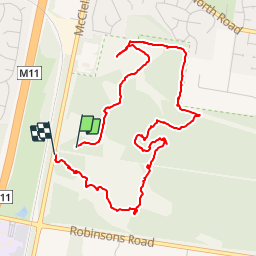

Length
5.9 km

Max alt
116 m

Uphill gradient
60 m
Km-Effort
6.7 km

Min alt
88 m

Downhill gradient
54 m
Boucle
Yes
Creation date :
2019-01-20 16:36:10.002
Updated on :
2019-01-20 16:36:13.87
2h04
Difficulty : Easy

FREE GPS app for hiking
 SityTrail
IGN / Geographical institutes
SityTrail Plus
The world is yours!
About
Trail Walking of 5.9 km to be discovered at Victoria, City of Frankston. This trail is proposed by phidge.
Description
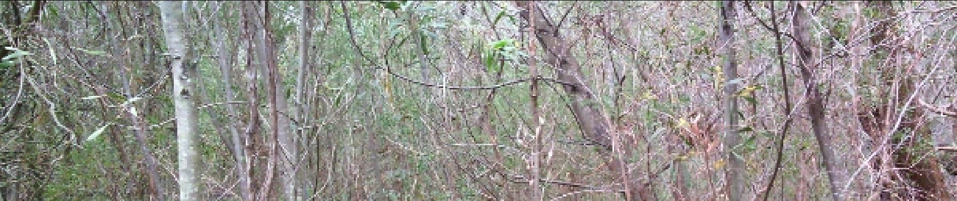
pack flora and fauna reserve
Photos


Positioning
Country:
Australia
Region :
Victoria
Department/Province :
City of Frankston
Municipality :
Unknown
Location:
Unknown
Start:(Dec)
Start:(UTM)
339577 ; 5773483 (55H) S.
Comments