


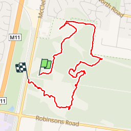


13.2 km | 14.7 km-effort

User


FREE GPS app for hiking
 SityTrail
IGN / Geographical institutes
SityTrail World
The world is yours!
Trail Walking of 5.9 km to be discovered at Victoria, City of Frankston. This trail is proposed by phidge.
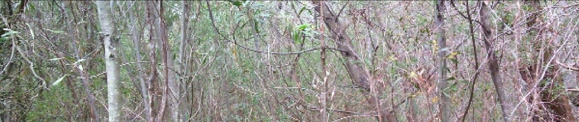
pack flora and fauna reserve


Walking
Walking
Walking