


Les Mille Étangs en Vosges Saônoises

jeanclaude12
User


4h57
Difficulty : Easy

FREE GPS app for hiking
 SityTrail
IGN / Geographical institutes
SityTrail Plus
The world is yours!
About
Trail Walking of 19.2 km to be discovered at Bourgogne-Franche-Comté, Haute-Saône, Servance-Miellin. This trail is proposed by jeanclaude12.
Description
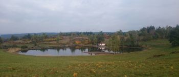
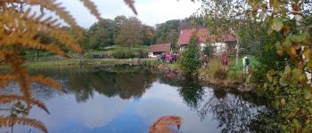
Au départ du Plateau des Grilloux, cette envoûtante randonnée automnale longe un cortège d'étangs millénaires, tous aussi beaux les uns que les autres. L'âme de chacun s'y reflète dès les premiers pas. Quelle paix!
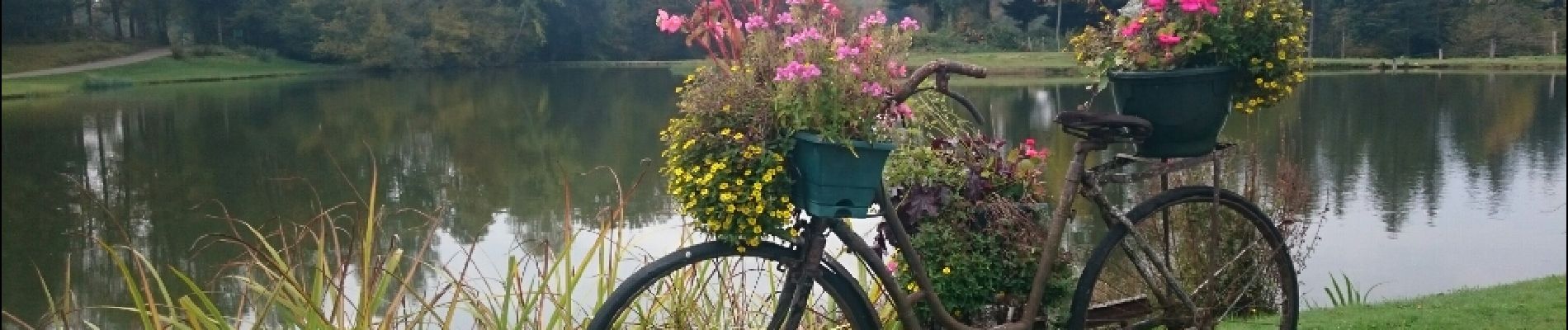
Photos


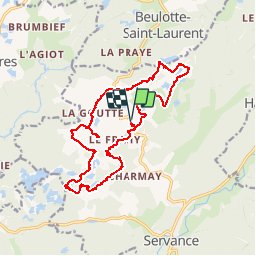
Positioning
Comments