


PIC DE NORE 2

josy31
User
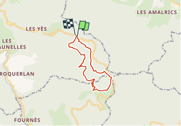

Length
10.9 km

Max alt
1160 m

Uphill gradient
309 m
Km-Effort
15 km

Min alt
957 m

Downhill gradient
316 m
Boucle
Yes
Creation date :
2015-10-30 00:00:00.0
Updated on :
2015-10-30 00:00:00.0
3h16
Difficulty : Unknown

FREE GPS app for hiking
 SityTrail
IGN / Geographical institutes
SityTrail Plus
The world is yours!
About
Trail Walking of 10.9 km to be discovered at Occitania, Tarn, Mazamet. This trail is proposed by josy31.
Positioning
Country:
France
Region :
Occitania
Department/Province :
Tarn
Municipality :
Mazamet
Location:
Unknown
Start:(Dec)
Start:(UTM)
455148 ; 4811521 (31T) N.
Comments
parfait en été quand il fait chaud en plaine. beau circuit en forêt. Mais faire le détour par le Sommet du Pic de Nore (d'où je conseille de partir) !