


Croix Toulouse#2

aubr
User
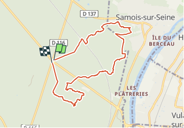

Length
8.6 km

Max alt
131 m

Uphill gradient
109 m
Km-Effort
10.1 km

Min alt
87 m

Downhill gradient
111 m
Boucle
Yes
Creation date :
2017-03-06 00:00:00.0
Updated on :
2017-03-06 00:00:00.0
2h13
Difficulty : Medium

FREE GPS app for hiking
 SityTrail
IGN / Geographical institutes
SityTrail Plus
The world is yours!
About
Trail Walking of 8.6 km to be discovered at Ile-de-France, Seine-et-Marne, Fontainebleau. This trail is proposed by aubr.
Description
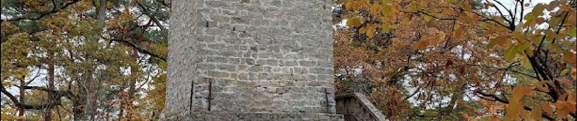
Tours de Samois et Denecourt
Circuits bleus n°15 et 13
Photos


Positioning
Country:
France
Region :
Ile-de-France
Department/Province :
Seine-et-Marne
Municipality :
Fontainebleau
Location:
Unknown
Start:(Dec)
Start:(UTM)
479215 ; 5365699 (31U) N.
Comments