


Les marrés des hauts butés

PascalBanide
User


Length
28 km

Max alt
499 m

Uphill gradient
398 m
Km-Effort
34 km

Min alt
132 m

Downhill gradient
717 m
Boucle
No
Creation date :
2015-11-23 00:00:00.0
Updated on :
2015-11-23 00:00:00.0
1h50
Difficulty : Easy

FREE GPS app for hiking
 SityTrail
IGN / Geographical institutes
SityTrail Plus
The world is yours!
About
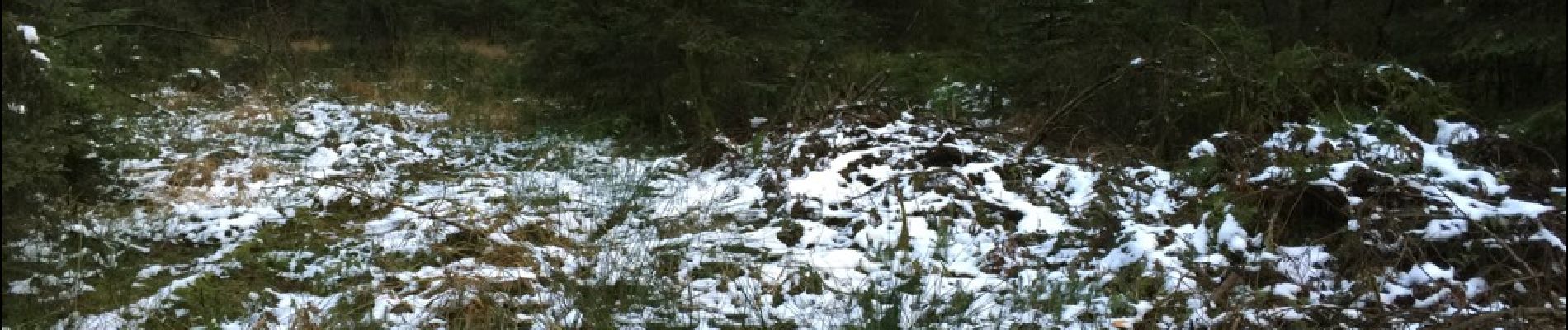
Trail Other activity of 28 km to be discovered at Grand Est, Ardennes, Monthermé. This trail is proposed by PascalBanide.
Photos


Positioning
Country:
France
Region :
Grand Est
Department/Province :
Ardennes
Municipality :
Monthermé
Location:
Unknown
Start:(Dec)
Start:(UTM)
627609 ; 5533380 (31U) N.
Comments