


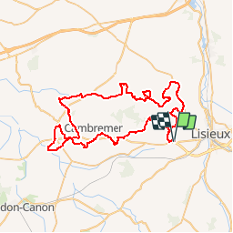

10.8 km | 13.1 km-effort


User


FREE GPS app for hiking
 SityTrail
IGN / Geographical institutes
SityTrail World
The world is yours!
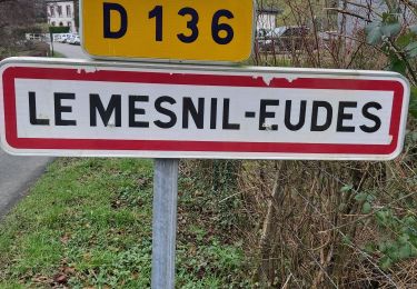
Trail Mountain bike of 71 km to be discovered at Normandy, Calvados, Saint-Désir. This trail is proposed by yoann.manier.
Walking

Walking
Walking

Walking
Walking
Walking

Walking

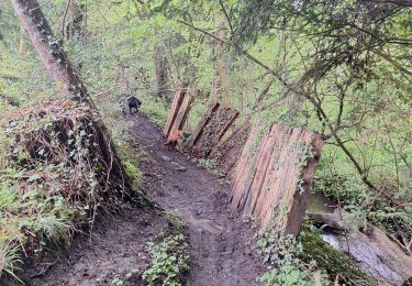
Mountain bike

4x4