


Saint Dionisy

kephas
User
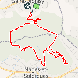

Length
8 km

Max alt
178 m

Uphill gradient
190 m
Km-Effort
10.5 km

Min alt
93 m

Downhill gradient
194 m
Boucle
Yes
Creation date :
2015-12-04 00:00:00.0
Updated on :
2015-12-04 00:00:00.0
3h15
Difficulty : Easy

FREE GPS app for hiking
 SityTrail
IGN / Geographical institutes
SityTrail Plus
The world is yours!
About
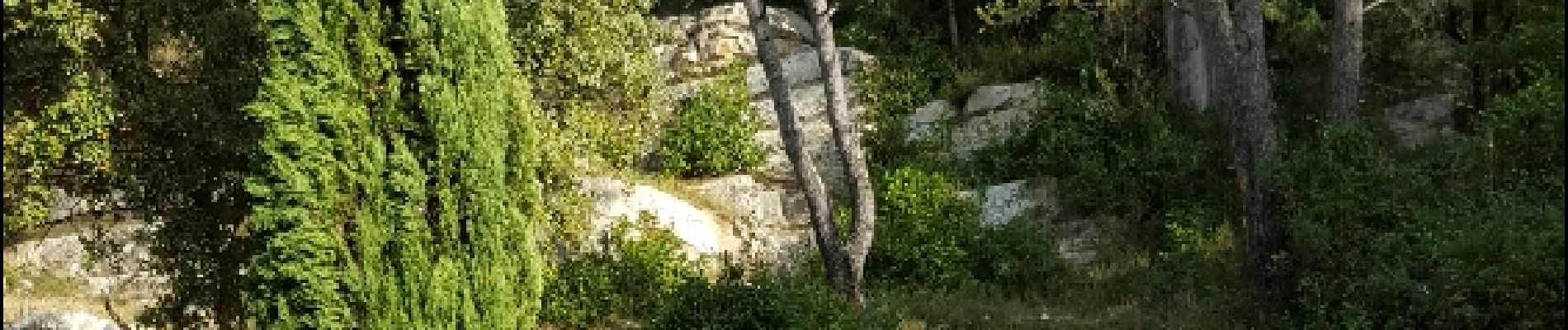
Trail Walking of 8 km to be discovered at Occitania, Gard, Saint-Dionisy. This trail is proposed by kephas.
Photos


Positioning
Country:
France
Region :
Occitania
Department/Province :
Gard
Municipality :
Saint-Dionisy
Location:
Unknown
Start:(Dec)
Start:(UTM)
598866 ; 4850680 (31T) N.
Comments