


les villages abandonnés

francisdean
User

Length
9.7 km

Max alt
1583 m

Uphill gradient
398 m
Km-Effort
15 km

Min alt
1209 m

Downhill gradient
391 m
Boucle
Yes
Creation date :
2016-08-02 00:00:00.0
Updated on :
2016-08-02 00:00:00.0
3h17
Difficulty : Medium

FREE GPS app for hiking
 SityTrail
IGN / Geographical institutes
SityTrail Plus
The world is yours!
About
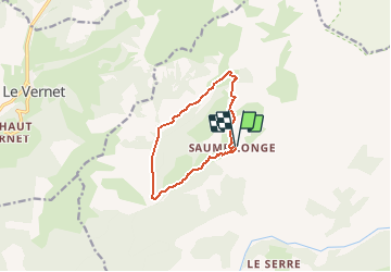
Trail Walking of 9.7 km to be discovered at Provence-Alpes-Côte d'Azur, Alpes-de-Haute-Provence, Prads-Haute-Bléone. This trail is proposed by francisdean.
Positioning
Country:
France
Region :
Provence-Alpes-Côte d'Azur
Department/Province :
Alpes-de-Haute-Provence
Municipality :
Prads-Haute-Bléone
Location:
Prads
Start:(Dec)
Start:(UTM)
296963 ; 4904231 (32T) N.
Comments
nul